
GIS MAPPING
Comprehensive Mapping Service

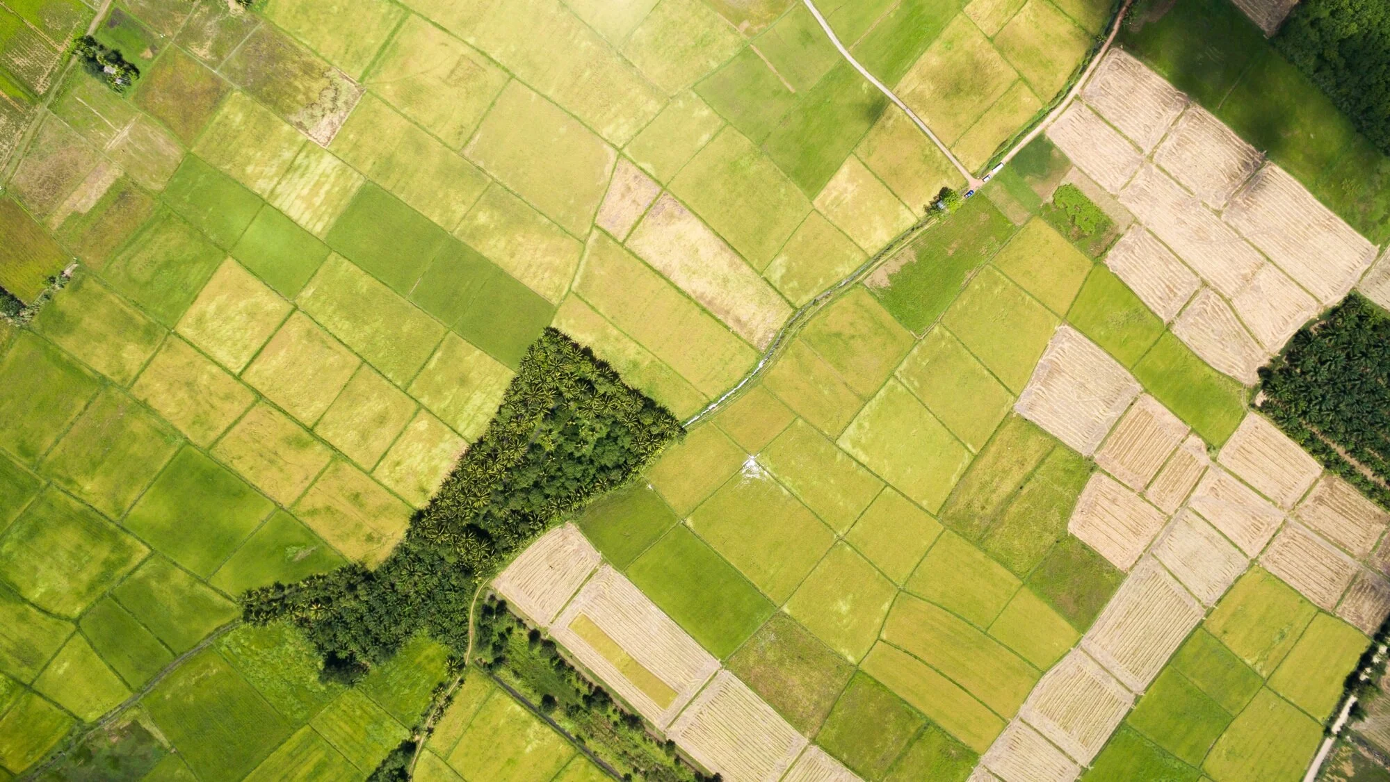
We offer comprehensive digital mapping by our GIS analysts, Meridian GIS Solutions, who have years of experience in the specialized fields of both oil and gas land work and GIS database management. Using client data and research compiled by our team, MAO creates an interactive tool for mapping and managing lease and drill site information. We can tailor our mapping shape files for integration into any client's mapping system. The maps that we create for our clients provide the information you need at your fingertips, enabling you to save time and make more effective decisions. The vital data represented on the map can also be distilled into charts and graphs which can be powerful visual tools to include in reports and PowerPoint presentations.

Our Mapping Product…
- Is portable an easily revised
- Tracks your leasing/title progress in real-time
- Visualizes key details of drilling sites
- Maintain online GIS databases
- Layers all pertinent information onto the site
- Is compatible with other mapping programs
- Easily accessible and highly flexible
MAO’s product can be customized to meet the many needs of the client, from simple area lease check maps to comprehensive drill site maps with unit, production and permitting data presented clearly and accurately. This product can also be contracted as a service by drilling and exploration companies for use by their leasing and landman service professionals.
Other Features Include:

Unit information
Ongoing unitization activity
Well locations
Well permitting activity
Abstract/curative status
Geophysical/seismic locations/permits
Cultural aspects
Geological features - faults, contours, planes
Restricted areas such as national or state parks, wildlife refuges
Federal or state-owned minerals
State-owned water bodies
Oyster leases